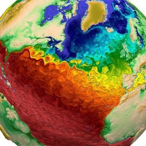
Embark on a journey to master climate geospatial analysis using Python and Xarray. In this course, you will delve into the manipulation and visualization of multidimensional geospatial data, specifically focusing on a dataset encompassing temperature, vegetation density, and total precipitation in the Brazilian Amazon from 1979 to 2019.
By the end of this project, you will possess the expertise to handle and extract valuable insights from intricate datasets, particularly those derived from satellite and climate re-analysis observations. Note that this course is optimized for learners based in North America, with plans to expand to other regions in the future.
Certificate Available ✔
Get Started / More Info
Google データアナリティクス will equip you with the essential skills to begin a career in the rapidly growing field of data analysis. No prior experience...
Gain foundational skills in public sector data analytics using R. Ideal for professionals in public administration, public policy, or data analytics, this course...
Prepare for the DP-203: Data Engineering on Microsoft Azure Exam is a comprehensive course designed to refresh and test your knowledge of key topics covered in the...
Data Analysis with Spreadsheets and SQL equips learners with essential skills in using spreadsheets and SQL queries to analyze and extract data effectively.