In the "GIS Data Formats, Design and Quality" course, you will explore the intricacies of Geographic Information Systems (GIS) through a comprehensive four-week program. This course is the second in the GIS Specialization and covers various aspects of data formats, design, and quality.
Enroll in this course to gain valuable skills in GIS data formats, design, and quality, and take a step closer to mastering Geographic Information Systems.
Certificate Available ✔
Get Started / More Info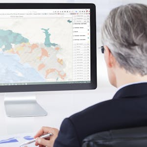
This course consists of four modules. Module 1 covers data models and formats, Module 2 focuses on vector data, Module 3 explores storage formats and working with rasters, and Module 4 addresses data quality and creating web maps.
This module provides an overview of data models and formats in GIS, covering vector and raster data concepts, implications of scale, and managing data in the Catalog Pane. You will also learn to design data tables and use separating and joining data in a relational database.
In this module, you will learn to create a vector data model, write query strings, add and calculate fields, and work with geoprocessing tools in ArcGIS. The module also covers basic digitizing and editing existing data.
Module 3 delves into storage formats and working with rasters, including geodatabases, shapefiles, and spatial analyst tools. You will learn about georeferencing rasters, raster calculator, and performing suitability analysis.
This module focuses on data quality assessment, uncertainty, and creating web maps using ArcGIS Online. It covers topics such as topology, loading layers, applying symbology, and sharing maps online.
Aeroecology: Exploring Biodiversity with Radar introduces the revolutionary use of radar in studying airborne life forms, providing essential skills for biodiversity...
Dive into ecosystem modeling using Insight Maker with this 1-hour guided project. Simulate the dynamics of three species and gain hands-on experience in system modeling...
Sustainable Urban Water Systems explores modern solutions for urban water management, focusing on stormwater control, water supply strategies, and the integration...
Explore transformative skills and capacities for achieving climate neutral and sustainable cities through this course. Embrace a missions approach and gain insights...